Photo viewpointLower Platform
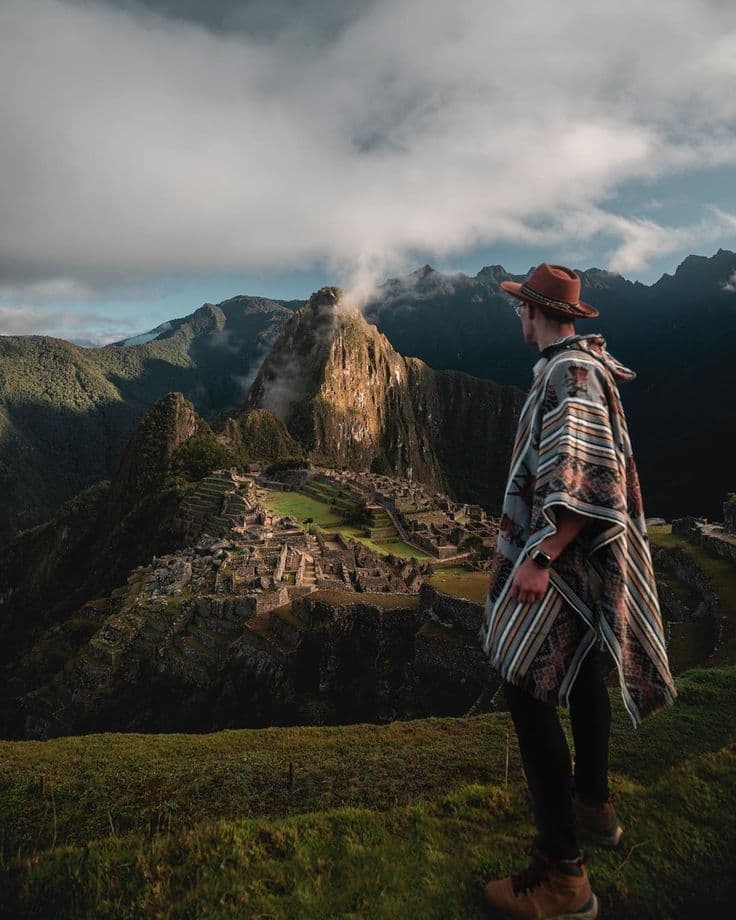
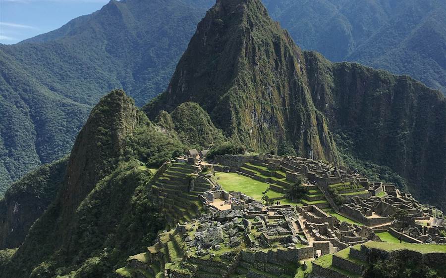
The viewpoint above the agricultural terraces: the whole citadel opens below you with Huayna Picchu behind — the frame on every postcard of Machu Picchu.
No tips here yet — be the first to leave one.
Circuit 1A is the Machupicchu Mountain route. On the official Ministry of Culture map it goes from the entrance up to the Lower and Upper panoramic platforms, then takes the trail to the summit of Machupicchu Mountain and returns to the exit — it does not tour the Inka city, which is what Circuits 2 and 3 are for. Its 7-hour maximum stay is the longest of any ticket, precisely because of the climb.
Follow the trail — tips by travelers who were just there
Photo viewpointThe viewpoint above the agricultural terraces: the whole citadel opens below you with Huayna Picchu behind — the frame on every postcard of Machu Picchu.
No tips here yet — be the first to leave one.
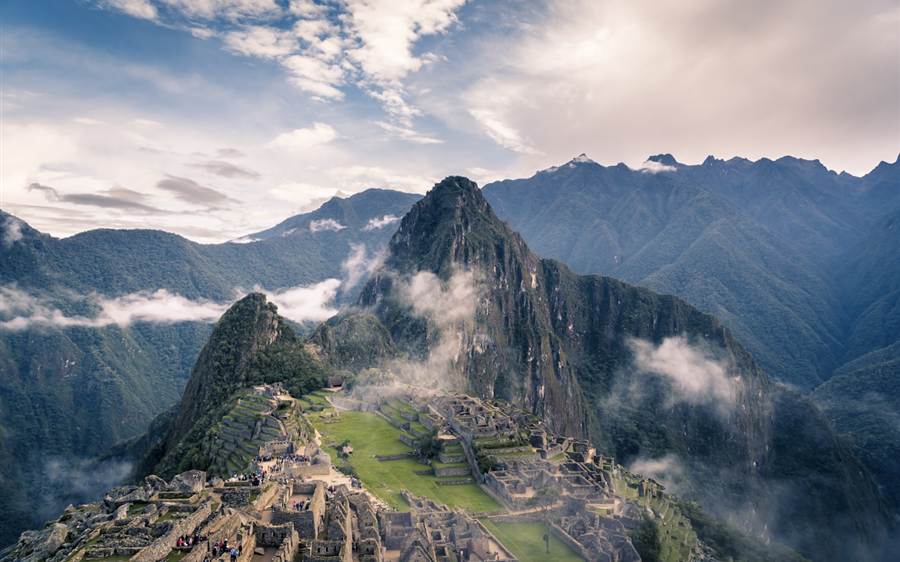
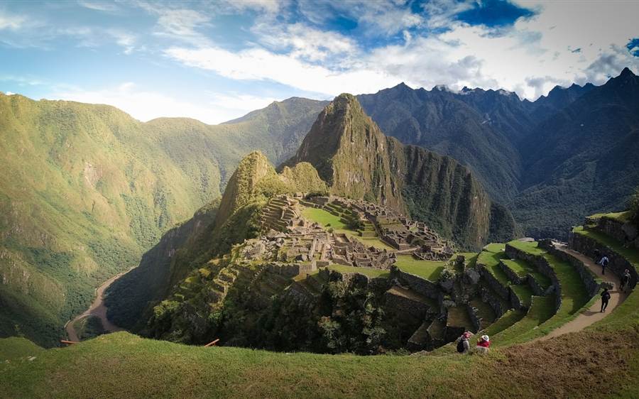
Photo viewpointA few terraces higher, the widest angle of the sanctuary: the citadel, the terraces and the Urubamba valley in a single frame. Only Circuit 1 routes come up here.
No tips here yet — be the first to leave one.
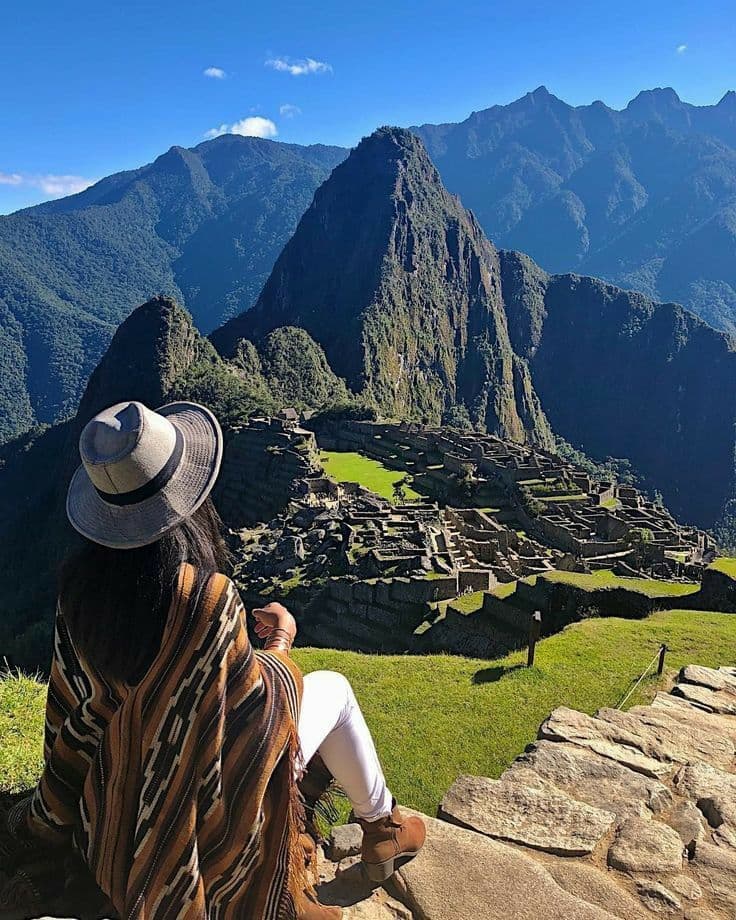
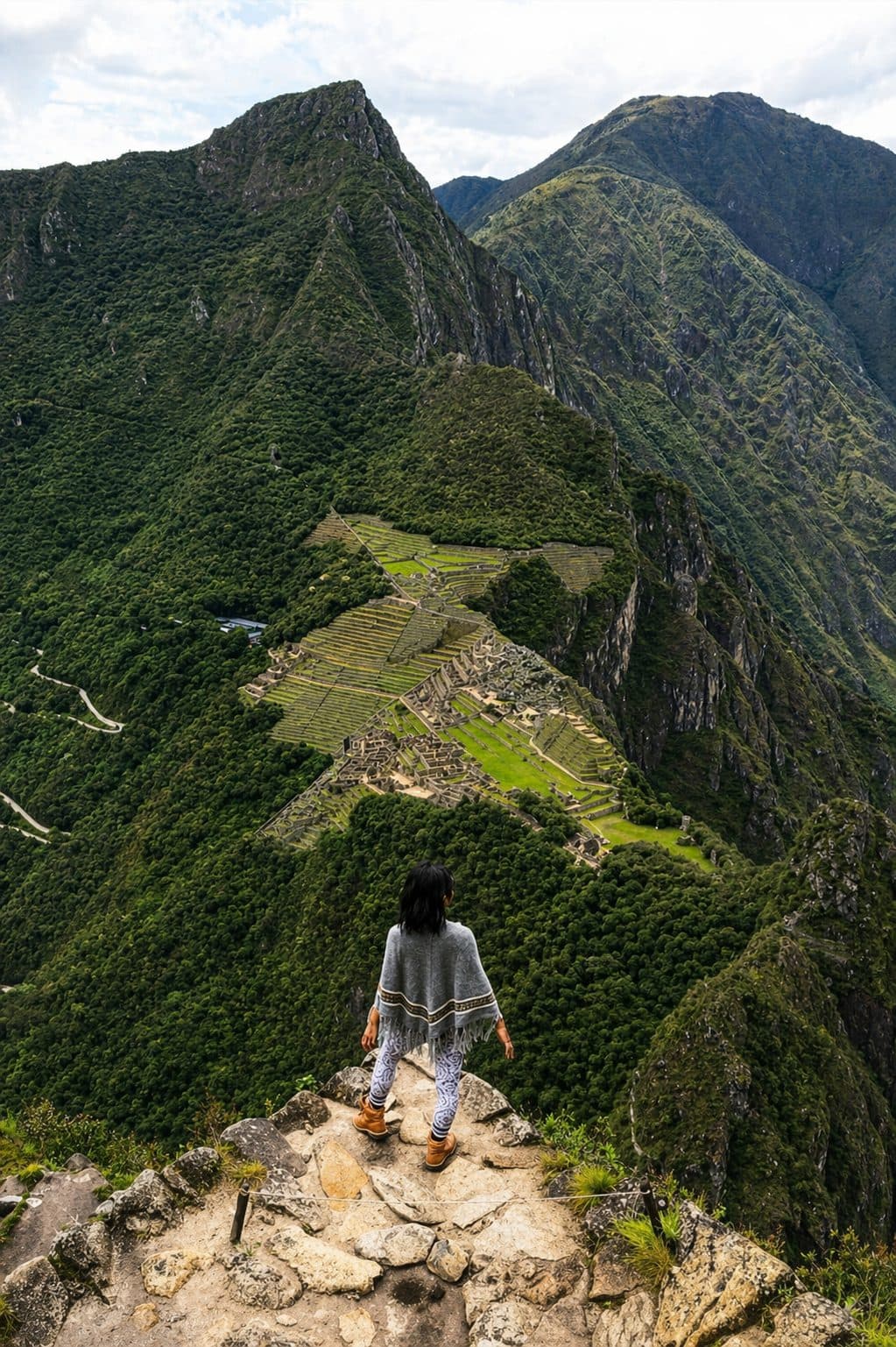
Photo viewpointThe signposted trail west and up to the summit of Machupicchu Mountain, at 3,082 m — roughly three hours round trip of stone steps, with the sanctuary, the Urubamba river and the surrounding peaks below you.
Good to know: This trail is why the ticket allows up to 7 hours inside — the longest stay of any Machu Picchu ticket.
No tips here yet — be the first to leave one.
Official Ministry ticket · real-time availability