MachuPicchu.World

Circuit 3A — Waynapicchu Mountain Route

The lower city plus the climb up the peak behind the citadel, with 6 hours inside.

8 official stopsUp to 6 h inside1 photo viewpoints

Circuit 3A is the Waynapicchu route. On the official map it walks the lower sector of the Inka city — Temple of the Sun viewpoint, Pisonay Square, Temple of the Condor, Water Mirrors, Eastern Qolqas and Twelve Niches — reaches the Sacred Rock and climbs Waynapicchu, the peak behind the citadel. Maximum stay: 6 hours. It does not go up to the panoramic platforms or the upper temples.

The route, stop by stop

Follow the trail — tips by travelers who were just there

Stop 4 · The curved wall from above

Temple of the Sun Viewpoint

The official viewpoint over the only curved building in Machu Picchu, raised on top of a natural cave. The routes look down on it — nobody walks inside the temple.

Traveler tips · 0

No tips here yet — be the first to leave one.
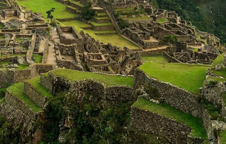
Down the east side

13
Pisonay SquareThe old tree

The small plaza named after its native pisonay tree, in the lower urban sector.

Traveler tips · 0

No tips here yet — be the first to leave one.
Stonework of the lower urban sector of Machu Picchu near the Temple of the Condor
Stop 12 · A condor in flight

Temple of the Condor

A natural rock formation completed with Inka stonework into the shape of a condor in flight — head carved on the floor, wings rising behind.

Good to know: Fountains in this sector still run on the original Inka spring channels.

Traveler tips · 0

No tips here yet — be the first to leave one.
Down the east side

11
Water Mirrors ComplexStar basins

Two carved stone basins believed to have reflected the night sky for observation — also known as the "mortar room".

10
Eastern QolqasThe storehouses

The granite storehouses — qolqas — that kept the food supply of the city, built along the eastern slope.

9
Twelve NichesThe niched hall

An enclosure of twelve trapezoidal niches — one of the clearest examples of Inka niche architecture in the city.

Traveler tips · 0

No tips here yet — be the first to leave one.
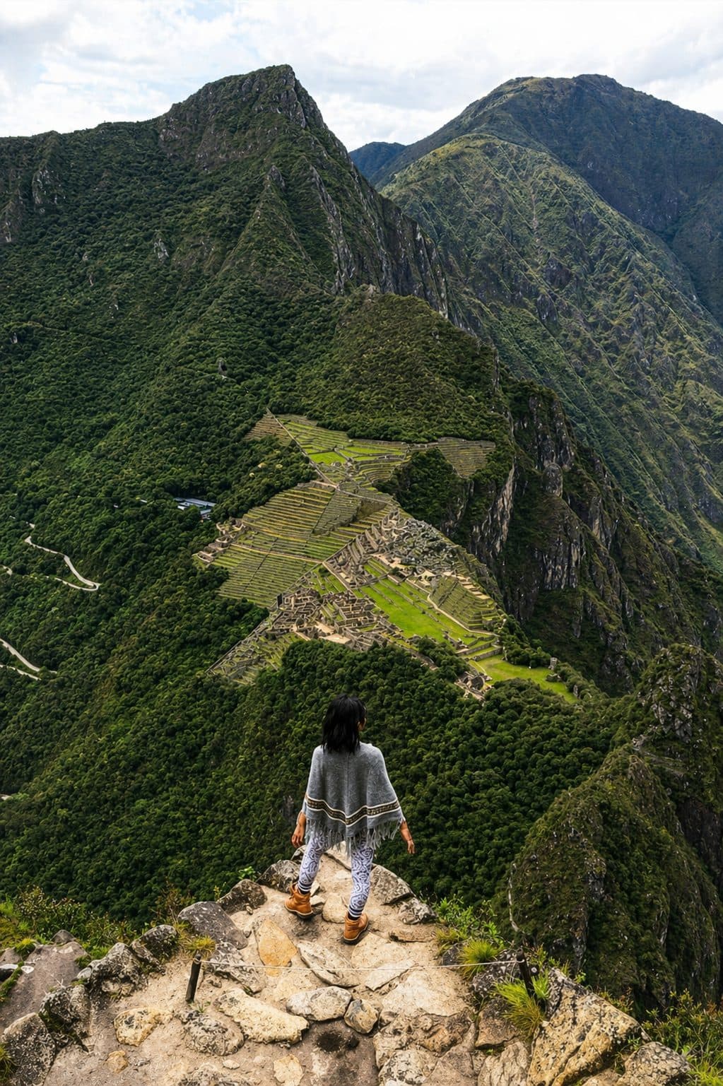
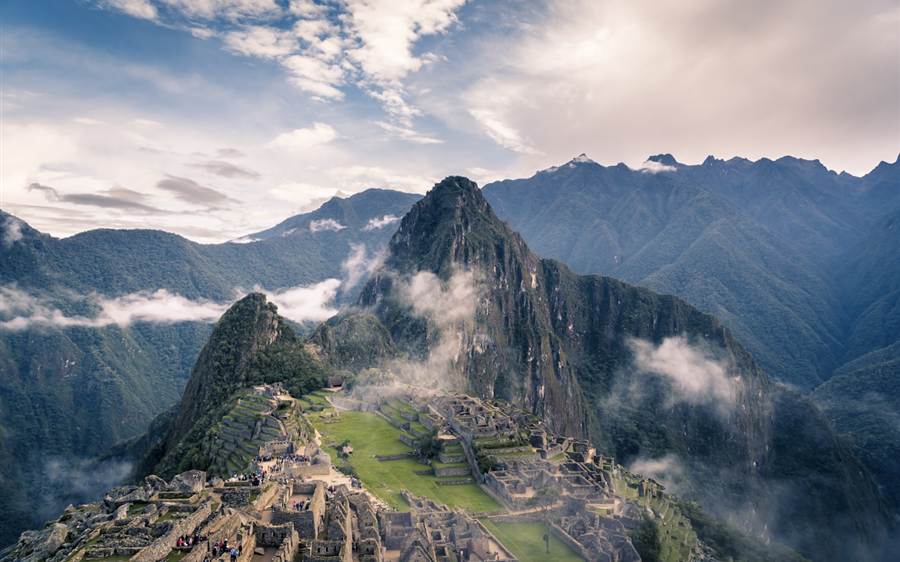
The north end of the Machu Picchu citadel with Huayna Picchu rising behind
Stop 8 · The north end

Sacred Rock

A monolith carved to mirror the silhouette of the mountain behind it, at the northern end of the city — and the point where the mountain trails begin.

Traveler tips · 0

No tips here yet — be the first to leave one.
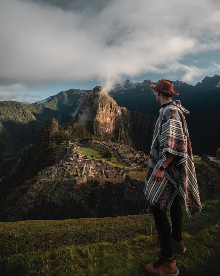
Signposted trail · The peak in the postcard

Waynapicchu Mountain

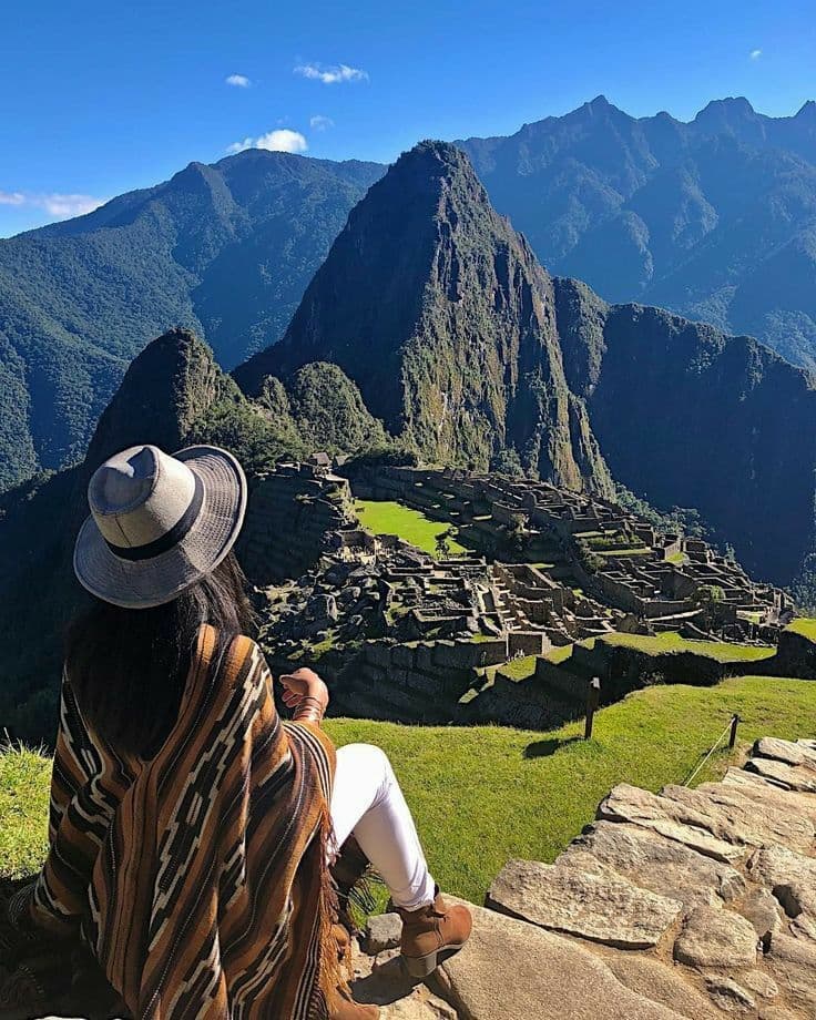
The steep peak that stands behind the citadel in every photo. The trail starts by the Sacred Rock and climbs carved stone steps to 2,693 m — around two to three hours round trip, with a strictly limited daily quota.

Traveler tips · 0

No tips here yet — be the first to leave one.

Ready to walk it yourself?

Official Ministry ticket · real-time availability

Check available dates