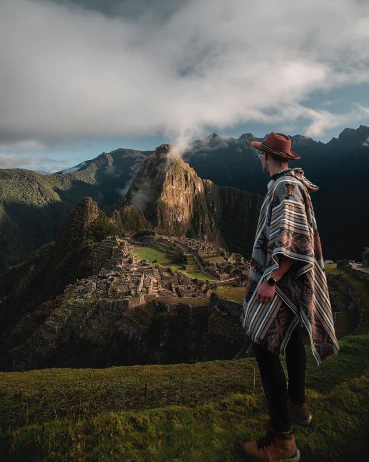
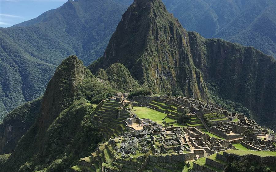
MachuPicchu.World

Circuit 1D — Inka Bridge Route

The panoramic platforms plus the cliff-edge walk to the Inka Bridge, with 3 hours inside.

3 official stopsUp to 3 h inside3 photo viewpoints

Circuit 1D is the Inka Bridge route. On the official map it goes from the entrance up to the Lower and Upper panoramic platforms and then west along the signposted trail to the Inka Bridge viewpoint, returning to the exit. Maximum stay: 3 hours. It does not walk the Inka city sectors.

The route, stop by stop

Follow the trail — tips by travelers who were just there

Panoramic view of the Machu Picchu citadel from the lower platformPhoto viewpoint
Stop 1 · The postcard viewpoint

Lower Platform

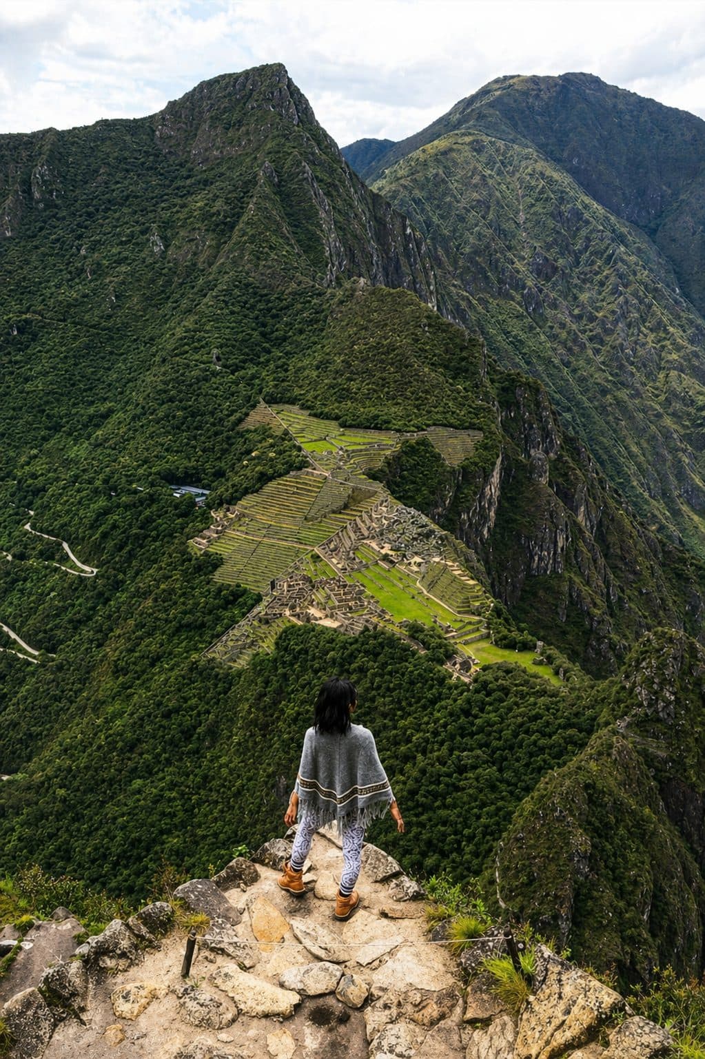
The viewpoint above the agricultural terraces: the whole citadel opens below you with Huayna Picchu behind — the frame on every postcard of Machu Picchu.

Traveler tips · 0

No tips here yet — be the first to leave one.
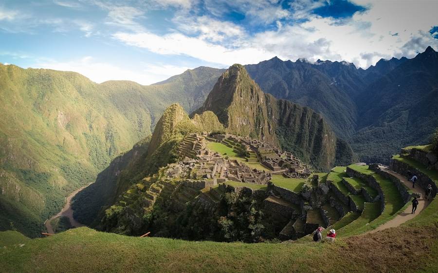
Wide view of Machu Picchu and the surrounding mountains from the upper platformPhoto viewpoint
Stop 2 · The widest angle

Upper Platform

A few terraces higher, the widest angle of the sanctuary: the citadel, the terraces and the Urubamba valley in a single frame. Only Circuit 1 routes come up here.

Traveler tips · 0

No tips here yet — be the first to leave one.
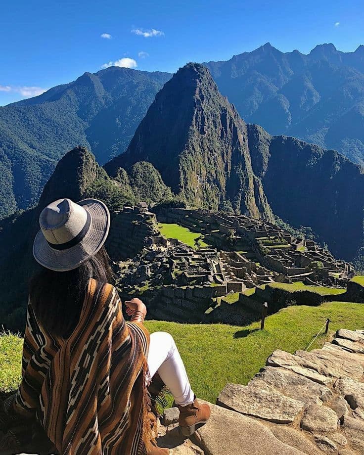
Signposted trail · The cliff-edge trail

Inka Bridge

A short signposted walk west from the platforms to the Inka Bridge: a stone path cut into a vertical cliff with a removable timber section that once controlled access to the city. You look at it from a viewpoint — crossing is not allowed.

Traveler tips · 0

No tips here yet — be the first to leave one.
Ready to walk it yourself?

Official Ministry ticket · real-time availability

Check available dates